


Trekking Routes in Northern Thailand: How Trails Really Work
Trails teach faster than guidebooks.
Walking shows what maps try to hide.
---
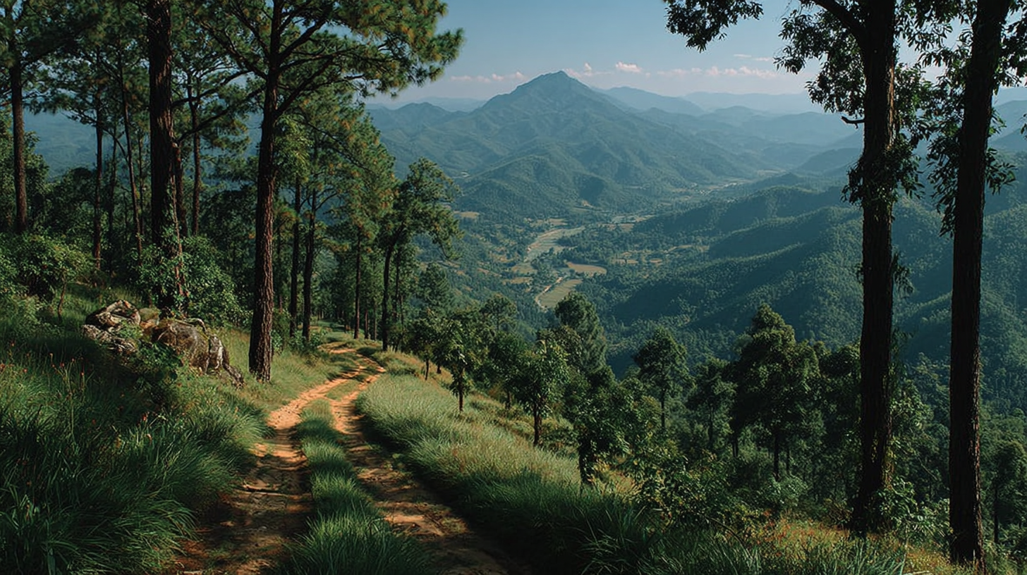
Lines Through Hills
Trekking routes are just decisions repeated by many feet.
Every ridge path, shortcut, or contour line holds a memory of risk and effort.
In Pang Mapha, old trails follow where people needed, not where views looked best.
A buffalo track that avoided a muddy basin later became a regular village line.
On the climb above Tham Lod, the main route stays on firm limestone ribs.
You can see faint side tracks where visitors tried a shortcut and slid in wet clay.
The principle is simple, feet choose safety first, scenery later.
Guides know this without speaking, they feel the hill through the soles.
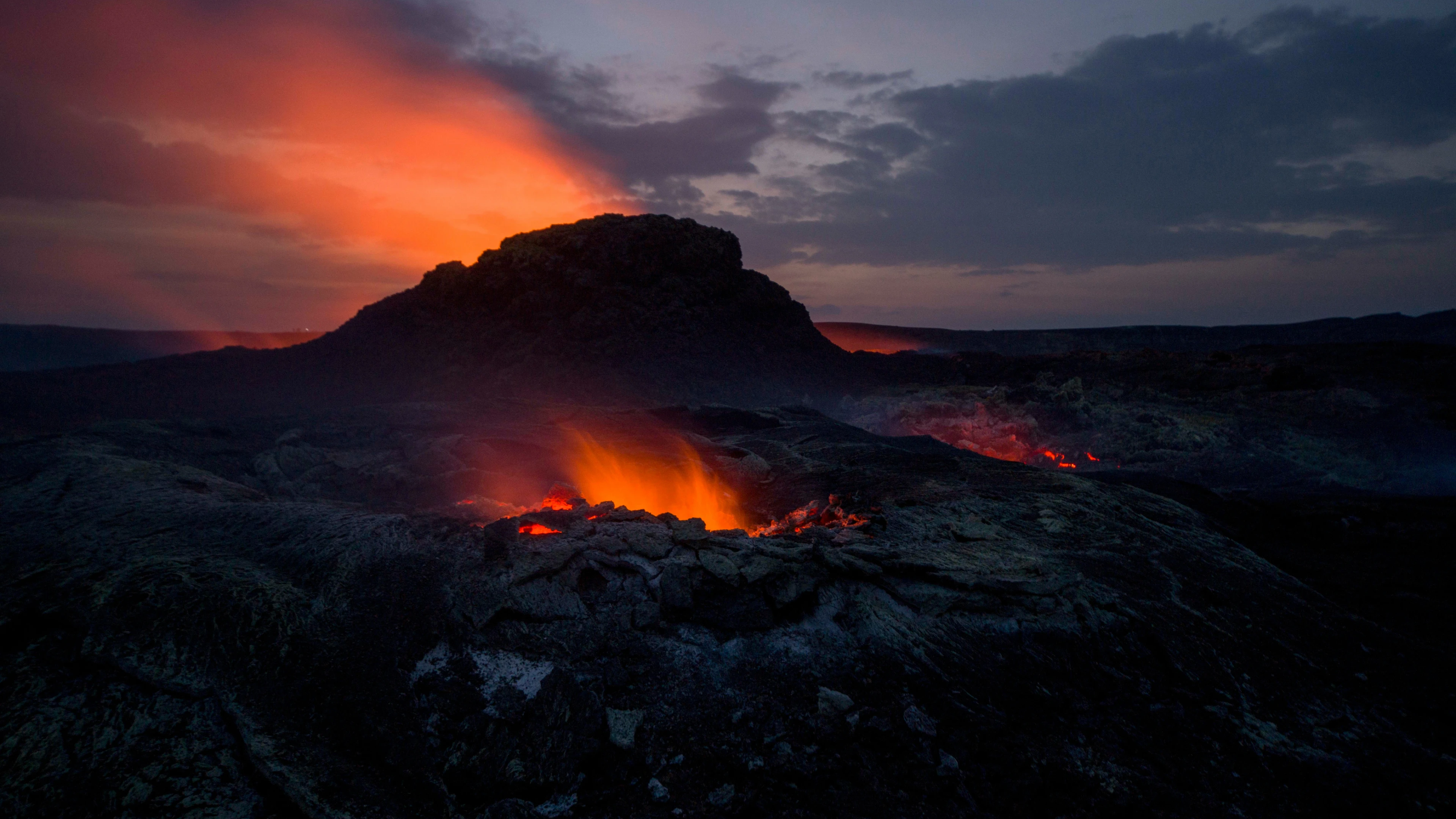
When rain hits in late August, the slick red earth changes old calculations.
A route that was easy in March becomes a slow, careful staircase of roots.
So trekking routes are never fixed, they are current agreements with weather and time.
The map prints a line, the hill keeps revising it.
---
Three Hills, Three Ways
Between Pai and Ban Pha Mon, there are at least three working routes.
On paper, visitors see only the road and one marked trail.
The first path climbs from Huai Pu Ling on a wide, steady dirt track.
It is used by motorbikes in dry season, and by school kids on foot year round.
Here the route logic is simple, connect village to village with least total climbing.
Shaded sections pass under teak and bamboo, dry leaves crackling under each step.
A second way cuts higher, following a thin ridge toward Doi Pui viewpoints.
Local guides use it when the sky is clear and guests ask for long horizons.
Up there, wind strips sweat fast and grass scratches at your shins.
The risk comes from exposure, lightning in storms and loose gravel on narrow spines.
The third line is rarely shown, a contour trail that farmers use in wet months.
It holds steady around the hill shoulder, switching in and out of small maize plots.
This route favors stable ground over direct ascent, staying just above the worst mud.
Puddles rise, but the base underfoot is old compacted soil, not fresh landslide.
A good guide in this area is not choosing "best", only "best for today".
Cloud cover, wind direction, and river color all feed that choice.
---
What Trails Remember
Every trekking route collects stories of small failures and adjustments.
A broken sandal, a slipped motorbike, a washed-out bridge, each leaves a trace.
In Mae Lana, there was once a direct trail to the limestone viewpoint above the village.
People used it daily to tend fields, carrying tools and woven baskets.
After a big storm ten years ago, part of the slope sheared off under bamboo roots.
Two families shifted to a longer contour path on the opposite side of the valley.
At first, only they used it, packing the ground slowly with quiet steps.
Then a guide followed them, saw that the new line avoided an active crack in the clay.
A season later, the "official" trekking route followed this safer curve.
The old path is still visible, grown over with grass, marked by broken stumps.
You can walk there, but it feels tense, like the earth is still thinking about moving.
The hill remembers the incident through this change, and the village does too.
One elder in Mae Lana likes to say,
"If a slope talks once, you listen forever."
So the principle grows, let the land's past decisions shape your current route.
Ignoring that history is how accidents repeat.
---
Guides, Feet, and Quiet Choices
Trekking routes in Northern Thailand rarely belong to any single person.
They belong to patterns of use, shaped by those who walk them daily.
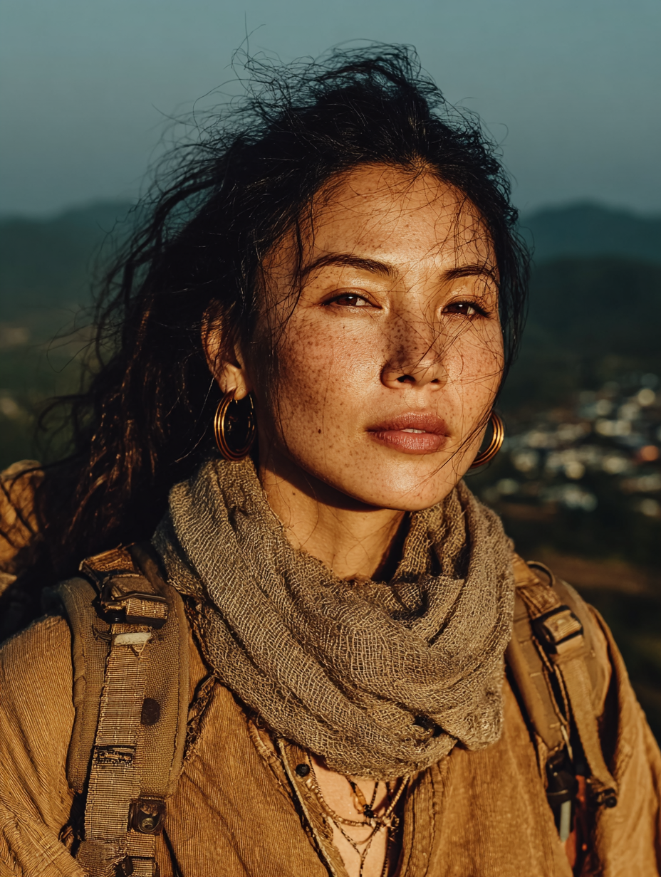
Local guides carry more than trail names, they carry recent answers to old questions.
"Which stream can you still cross by foot after three days of rain?"
"Which ridge gets foggy so early that you lose the village line?"
In Ban Muang Pam, a young guide named Ek checks two things each morning.
He looks at the level of the small weir near the rice fields.
Then he scans the ridge opposite, to see how clouds move across its spine.
If the water is clear and low, he takes guests on the steep forest ascent.
There, the soil holds, and bamboo roots offer clean, solid grips.
If the water is brown and fast, he loops a different way through mixed orchard land.
That route is less dramatic, but it avoids a creek that can rise mid-day.
Ek does not talk about "adventure" or "difficulty levels".
He only says, "Today we go this way, it is more quiet."
The quiet often means fewer surprises from water and wind.
Those choices are the real structure behind trekking routes, not printed grades.
---
What Movement Teaches
Walking the same trail in three seasons gives three different maps in your body.
Each time, your memory of the route rewrites itself around fresh details.
Dry season teaches the skeleton of the land, ridge, notch, saddle, streambed.
The ground is hard, dust rises in small clouds, and every contour is sharp.
Early rains teach sound first, runoff in hidden channels, frogs starting again.
Steep sections glow dark under wet leaves, and old erosion scars shine.
Full monsoon teaches patience, speed drops, and balance becomes more important than distance.
Leeches climb onto boots, and river crossings demand slow, planted steps.
On the Soppong to Ban Jabo route, these three maps overlap.
Clear days, you see karst towers and far paddies, and you think in views.
Foggy days, you learn trees instead, a leaning teak at one corner, a split bamboo grove.
In heavy rain, you learn smells, wet earth at one junction, fermented leaf piles at another.
Each layer makes the trail more real, and also more personal.
When people ask which trekking routes are "best", I think of these layers.
The best route is the one you can return to in another season.
Then you see how the land keeps teaching, without changing its name.
In the end, a good trail is not about distance or fame.
It is simply a line where land and people keep listening to each other.
Movement becomes the language, and the hill quietly answers.
Related blogs
Lorem ipsum dolor sit amet consectetur. Adipiscing eget risus tempus facilisis scelerisque vitae consectetur vitae. Amet faucibus venenatis donec mattis.


Pai District,
Mae Hong Son Province
58130, Thailand


